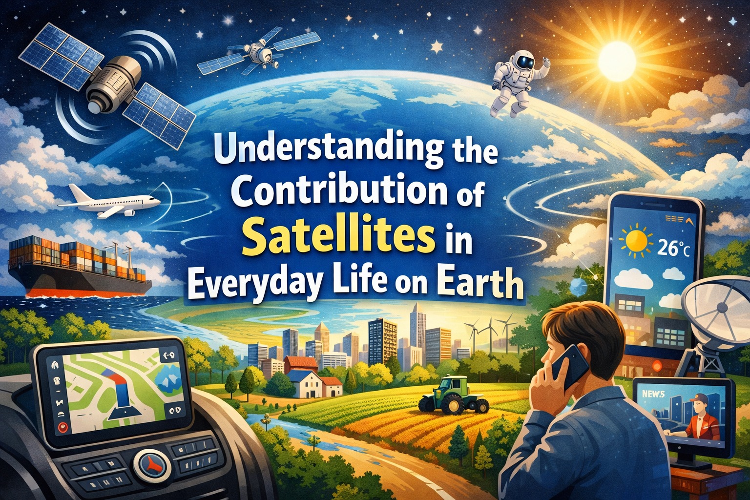
Satellites are no longer distant scientific tools used only by space agencies. Today, they quietly power many aspects of modern life on Earth, from the way we navigate cities to how we predict weather, communicate, and even respond to disasters. Although often invisible to daily users, satellite technology has become an essential backbone of global infrastructure.
THE ROLE OF SATELLITES IN GLOBAL COMMUNICATION
One of the most significant contributions of satellites is in communication. Satellite networks enable television broadcasting, internet connectivity, and international phone calls, especially in remote areas where ground infrastructure is limited or unavailable.
Without satellites, global communication would be slower, less reliable, and far less accessible. Remote islands, rural villages, and even ships at sea rely heavily on satellite links to stay connected with the rest of the world.
NAVIGATION AND GPS TECHNOLOGY
Modern navigation systems depend almost entirely on satellites. The Global Positioning System (GPS) uses a network of satellites orbiting Earth to provide precise location data anywhere on the planet.
This technology is widely used in smartphones, transportation systems, aviation, and logistics. Ride-hailing apps, delivery services, and even emergency responders depend on real-time satellite positioning to operate efficiently and accurately.
WEATHER FORECASTING AND CLIMATE MONITORING
Satellites play a crucial role in observing Earth’s atmosphere and monitoring weather patterns. Meteorologists rely on satellite imagery to track storms, hurricanes, rainfall, and temperature changes.
These observations allow for early warnings of extreme weather events, helping to reduce damage and save lives. In addition, long-term satellite data is essential for studying climate change and understanding environmental shifts over time.
DISASTER MANAGEMENT AND EMERGENCY RESPONSE
When natural disasters occur, satellites provide critical real-time information. They help map affected areas, assess damage, and guide rescue operations.
For example, during floods, earthquakes, or wildfires, satellite images allow authorities to identify the most impacted regions quickly. This improves coordination and speeds up emergency response efforts, potentially saving thousands of lives.
AGRICULTURE AND ENVIRONMENTAL MONITORING
Farmers and environmental scientists also benefit from satellite data. Satellites monitor soil conditions, crop health, and water availability, helping improve agricultural productivity.
They are also used to track deforestation, ocean health, and air pollution. This data supports sustainable practices and helps governments make informed environmental policies.
THE FUTURE IMPACT OF SATELLITES
As technology advances, satellites are becoming smaller, more powerful, and more affordable. The rise of satellite constellations promises faster internet access and improved global coverage.
In the future, satellites may play an even bigger role in smart cities, autonomous transportation, and real-time Earth monitoring systems, further integrating space technology into everyday life.
Satellites have quietly transformed the way humans live, work, and interact with the world. From communication to climate science, their impact is vast and continues to grow as technology evolves.
Tentang Penulis
Gusti Ayu Tita
Penulis — Universitas STEKOM
Penulis aktif yang berfokus pada isu-isu akademik, teknologi pendidikan, dan pengembangan sumber daya manusia di lingkungan kampus.