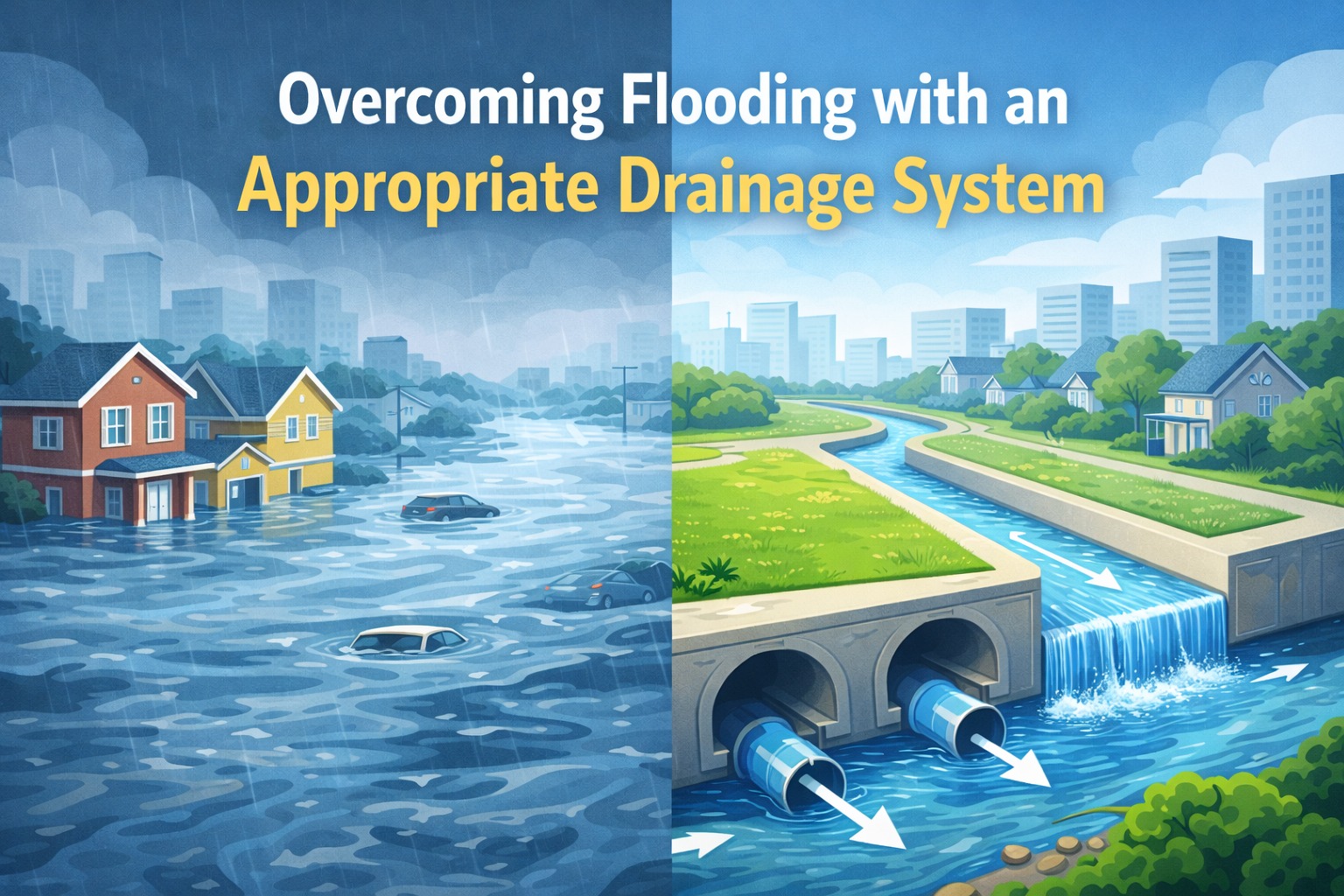
Flooding is one of the most significant environmental problems faced by many regions in Indonesia. Major cities such as Jakarta, Semarang, Surabaya, and other densely populated areas frequently experience water inundation that disrupts daily activities, damages infrastructure, and causes economic losses. This is where the role of civil engineering—particularly in the planning and management of drainage systems—becomes crucial in significantly reducing flood risks.
An appropriate drainage system is not merely a simple water channel, but a structured network designed through technical calculations, hydrological analysis, and careful consideration of urban development patterns. This article discusses in detail how drainage systems work, their types, development challenges, and modern strategies to mitigate flooding.
1. What Is a Drainage System?
Simply put, drainage is a system designed to remove surface water—whether from rainfall, groundwater runoff, or non-domestic wastewater—to prevent water accumulation. In civil engineering, drainage systems include:
- Surface water channels (open channels)
- Closed conduits
- Infiltration wells
- Retention and detention ponds
- Water pumps
- Polder systems
The objective is to convey or absorb water quickly, orderly, and safely from the ground surface.
2. Main Causes of Urban Flooding
To effectively address flooding, it is essential to understand its causes. Several factors that commonly trigger flooding in Indonesia include:
a. High Rainfall
Many regions experience extreme rainfall, especially during the rainy season.
b. Land Use Change
The conversion of green areas into residential and commercial zones significantly reduces water infiltration.
c. Clogged Drainage Systems
Garbage, mud deposits, and sediment often obstruct drainage channels.
d. Inadequate Drainage Capacity
Many drainage systems were constructed based on outdated conditions and have not kept pace with population growth and urban development.
e. Land Subsidence
Common in major cities such as Jakarta, causing water to accumulate more easily.
f. Tidal Flooding and Sea-Level Rise
Coastal areas are vulnerable to rising sea levels and tidal flooding.
3. Basic Principles of an Effective Drainage System
A well-designed drainage system must fulfill several fundamental principles:
a. Rapid Water Conveyance
Rainwater must be quickly directed to main channels, rivers, or storage facilities.
b. Providing Space for Water
Modern cities allocate “water spaces” such as retention ponds, infiltration parks, and green open areas.
c. Increasing Infiltration Capacity
By expanding the use of infiltration wells, biopores, infiltration systems, and green open spaces.
d. Ensuring Safety and Cleanliness
Channels must be designed to minimize clogging, allow easy maintenance, and prevent environmental pollution.
e. Sustainability
Designs should consider projections for the next 20–50 years.
4. Types of Drainage Systems
The following drainage systems are commonly used:
a. Surface Drainage
Conveys water over the surface through:
- Open ditches
- Gutters
- Roadside channels
Suitable for residential areas and agricultural land.
b. Subsurface Drainage
Utilizes underground pipes or closed channels, commonly applied in:
- Urban areas
- Highways
- Sports fields
- Airports
c. Infiltration Wells
Function to collect rainwater and allow it to infiltrate into the soil, effectively reducing surface runoff.
d. Retention and Detention Ponds
- Retention ponds: store water for extended periods
- Detention ponds: temporarily store water before gradual release
Widely used in densely populated and commercial areas.
e. Polder Systems
Employ embankments and pumps for areas located below sea level.
**Example:** North Jakarta.
f. Nature-Based Drainage Systems (Nature-Based Solutions / NBS)
Environmentally friendly approaches such as:
- Park ponds
- Artificial wetlands
- Vegetated drainage systems
- River green belts
5. Stages of Drainage System Planning
Civil engineers plan drainage systems through the following stages:
a. Hydrological Analysis
Calculating:
- Rainfall
- Rainfall intensity
- Time of concentration
- Peak discharge using the Rational Method, SCS, or Synthetic Unit Hydrograph (HSS)
b. Hydraulic Calculations
Determining channel dimensions based on:
- Discharge
- Channel slope
- Roughness coefficient
- Freeboard
c. Geometric Channel Design
Including:
- Width
- Depth
- Materials (concrete, soil, stone, HDPE)
- Longitudinal slope
d. Integration with Rivers and Water Bodies
Drainage channels must be connected to:
- Rivers
- Canals
- Storage ponds
- Embankments
e. Waste and Sediment Control
Filters, grilles, and sediment traps must be installed to prevent rapid clogging.
6. Challenges of Drainage Systems in Indonesia
a. Rapid Urban Growth
Many drainage systems have not been updated for decades.
b. Improper Waste Disposal Habits
This remains a major cause of drainage blockages.
c. Climate Change
Extreme rainfall events are becoming more frequent.
d. Reduced River Capacity
Caused by sedimentation and river narrowing.
e. Rivers Occupied by Settlements
This obstructs water flow and increases flood risk.
7. Modern and Innovative Solutions
To address flooding, several modern approaches are being implemented:
a. Smart Drainage Systems
Utilize sensors to:
- Monitor water levels
- Detect blockages
- Automatically control pumps
b. Green Infrastructure
Including:
- Urban parks as infiltration areas
- Rooftop gardens
Permeable pavements
About the Author
Gusti Ayu Tita
Author — STEKOM University
An active author focused on academic issues, educational technology, and human resource development in the campus environment.